Data Scenario: Raster data needs reformatting
| File Name | Modified |
|---|---|
| datafile.jpg | 8/2/23, 8:53:13 PM |
| datafile.prj | 8/2/23, 8:53:13 PM |
| solution-gdal_translate.sh | 8/2/23, 8:53:13 PM |
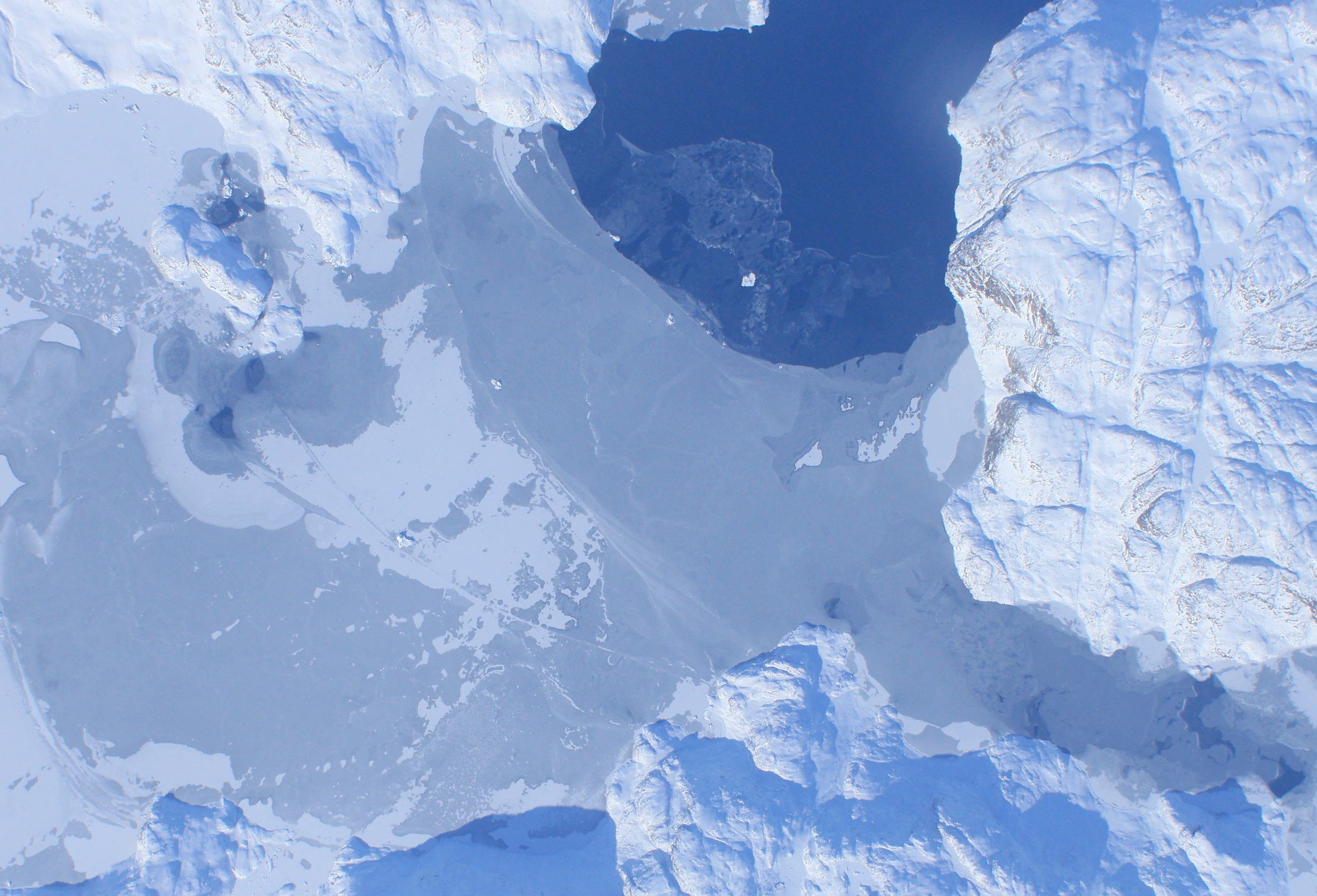
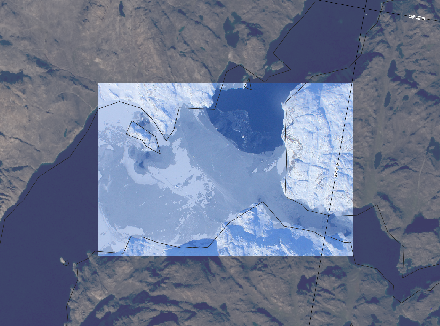
A colleague e-mails you aerial imagery that they extracted from the IceBridge DMS dataset (Dominguez 2010) of a potential study site that you would like to view in QGIS alongside some other data.
The person who provided the data gives you the following details:
Corner coordinates for the data file are:
Upper Left  ( -334334.200,-1855796.425) ( 55d12'45.62"W, 72d43'11.00"N)
Lower Left  ( -334334.200,-1860658.423) ( 55d11'11.56"W, 72d40'35.44"N)
Upper Right ( -327188.537,-1855796.425) ( 54d59'55.86"W, 72d43'51.77"N)
Lower Right ( -327188.537,-1860658.423) ( 54d58'23.69"W, 72d41'16.09"N)
The projection information is given as “Well Known Text” (WKT) in the provided datafile.prj file.
Given this information, create a GeoTIFF file that can be loaded into QGIS and viewed alongside other data in QGreenland.
Validation
The GeoTIFF should include all of the metadata necessary to correctly position it alongside other layers in QGreenland.
Internet-required data/Greenland image mosaic as base layer)Citation information
The provided datafile.jpg was extracted from (Dominguez 2010) imagery. Specifically, the DMS_1000211_02076_20100409_17225023.tif file was subsetted and converted to JPG for the purposes of this exercise.