Additional slides: Fixing common data/metadata issues)
QGreenland Researcher Workshop 2023
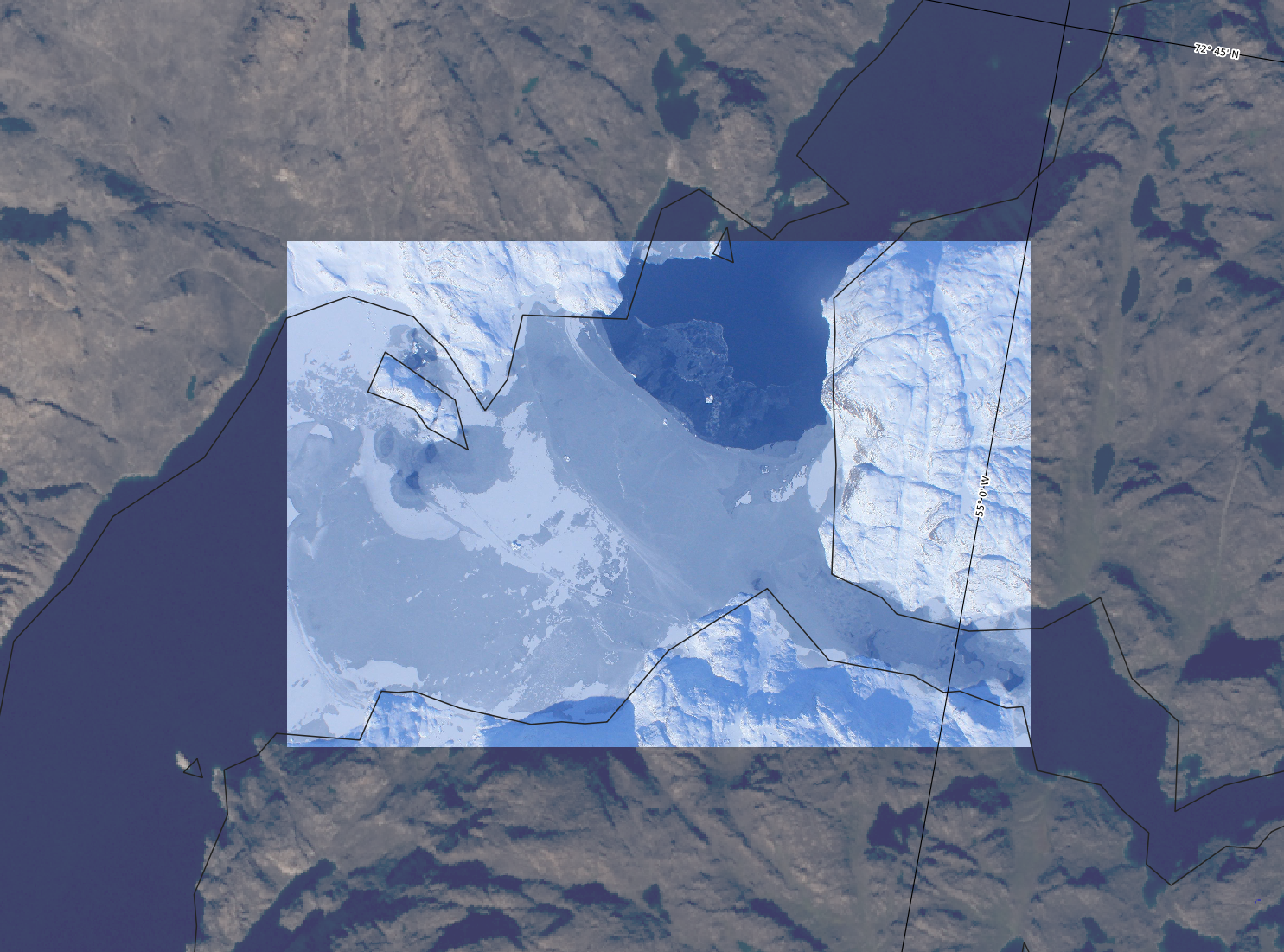
Data scenario: Raster needs reformatting
gdalinfo datafile.jpgDriver: JPEG/JPEG JFIF
Files: datafile.jpg
Size is 2813, 1914
Image Structure Metadata:
COMPRESSION=JPEG
INTERLEAVE=PIXEL
SOURCE_COLOR_SPACE=YCbCr
Corner Coordinates:
Upper Left ( 0.0, 0.0)
Lower Left ( 0.0, 1914.0)
Upper Right ( 2813.0, 0.0)
Lower Right ( 2813.0, 1914.0)
Center ( 1406.5, 957.0)
Band 1 Block=2813x1 Type=Byte, ColorInterp=Red
Overviews: 1407x957, 704x479, 352x240
Image Structure Metadata:
COMPRESSION=JPEG
Band 2 Block=2813x1 Type=Byte, ColorInterp=Green
Overviews: 1407x957, 704x479, 352x240
Image Structure Metadata:
COMPRESSION=JPEG
Band 3 Block=2813x1 Type=Byte, ColorInterp=Blue
Overviews: 1407x957, 704x479, 352x240
Image Structure Metadata:
COMPRESSION=JPEGgdalsrsinfo -o wkt_simple datafile.prjPROJCS["unnamed",
GEOGCS["WGS 84",
DATUM["WGS_1984",
SPHEROID["WGS 84",6378137,298.257223563]],
PRIMEM["Greenwich",0],
UNIT["degree",0.0174532925199433]],
PROJECTION["Polar_Stereographic"],
PARAMETER["latitude_of_origin",70],
PARAMETER["central_meridian",-45],
PARAMETER["false_easting",0],
PARAMETER["false_northing",0],
UNIT["metre",1]]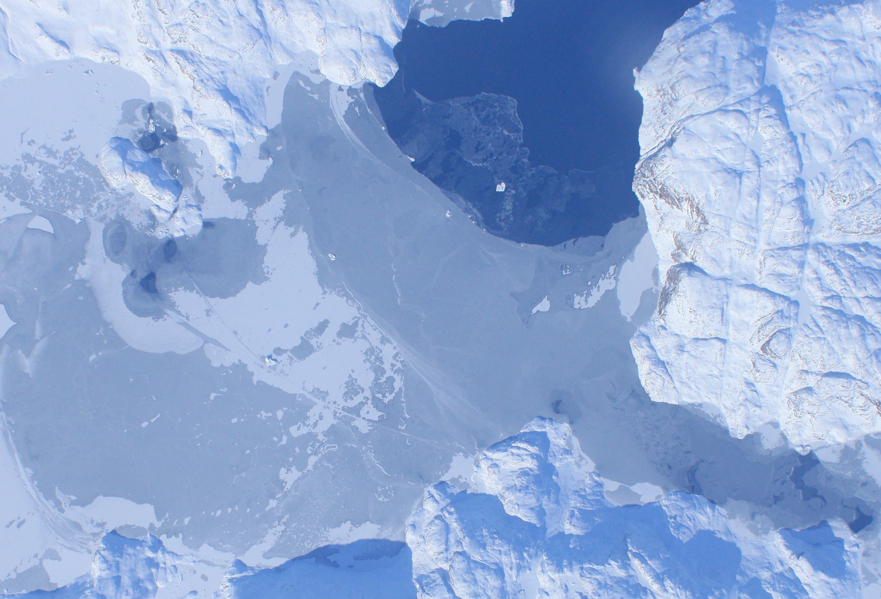
Raster needs reformatting: All better!

![]()