Review: Geospatial concepts and terms
QGreenland Researcher Workshop 2023
Geospatial data
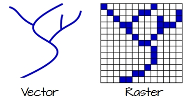
Vector data
Choose the right feature type:
- Point
- Line
- Polygon

Vector map (Wikimedia Commons)
Vector attributes
Attributes add additional data to a geospatial element
- A point representing a weather station may have a
temperatureattribute - a line representing a river may have a
nameattribute - A polygon representing a state may have a
populationattribute
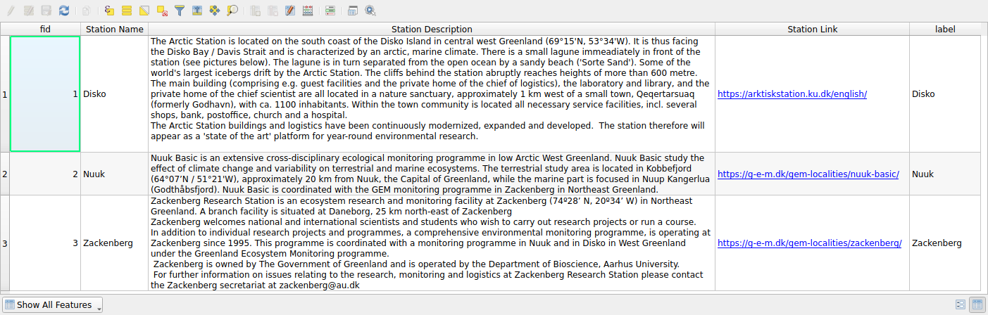
Attribute table for the “Human activity/Research sites/GEM research stations” point layer in QGreenland
Vector topology
- Spatial relationships between vector features.
- E.g,
- “what points fall within a given polygon?”
- “What polygons are adjacent to this one?”

Examples of topological spatial relations (Wikimedia Commons)
Raster data

RGB Raster Image (Wikimedia Commons)
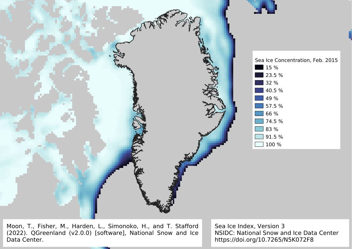
Raster data: continuous and categorical
Continuous: temperature, sea ice concentration, wind speed
Categorical: land cover, cloud type, storm category

Geodetic Datums
A model representation of the Earth serving as a reference for locating features.
- Often a spherical or ellipsoidal representation.
WGS84is a common global datum, but many others exist (including locally best-fitting models).- Differences between datums can be significant (> 100 meters in some cases).

Geographic Coordinate System (GCS)
Coordinate system that represents locations on the Earth in spherical coordinates of latitudes and longitudes.

Diagram of the latitude ϕ and longitude λ angle measurements for a spherical model of the Earth (Wikimedia Commons)
Projected Coordinate System (PCS)
Coordinate system that represents locations on the Earth in planar coordinates (X, Y).
- Projection is the transformation of spherical (lat/lon) coordinates to a planar surface.
- Benefits include visualization on flat surfaces (e.g., maps) and simplified distance calculations.
- Projection results in one or more distortions: shape, area, distance, direction

